I climbed the highest mountain in Africa in 2007, so I thought it only fitting that I climb the highest mountain in Texas, too. Just like with Mount Kilimanjaro, no one wanted to climb Guadalupe Peak with me, either. I kept putting it off, thinking I would find someone who would like to do it, too. I groused about it to AJ, my son, earlier this year, and to my delight and surprise, he and his son, my grandson Ben, agreed to make the trek with me.
Between AJ’s work and Ben’s college schedule, they picked the weekend before Thanksgiving as a time they could make the trip. Needless to say, my retirement schedule was wide open, so off we went. We all drove to Whites City, New Mexico, on the Sunday before Thanksgiving, for the adventure to begin.
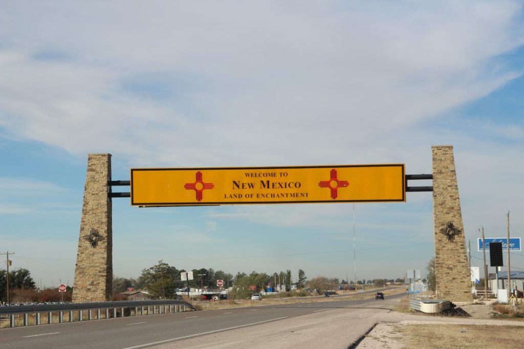
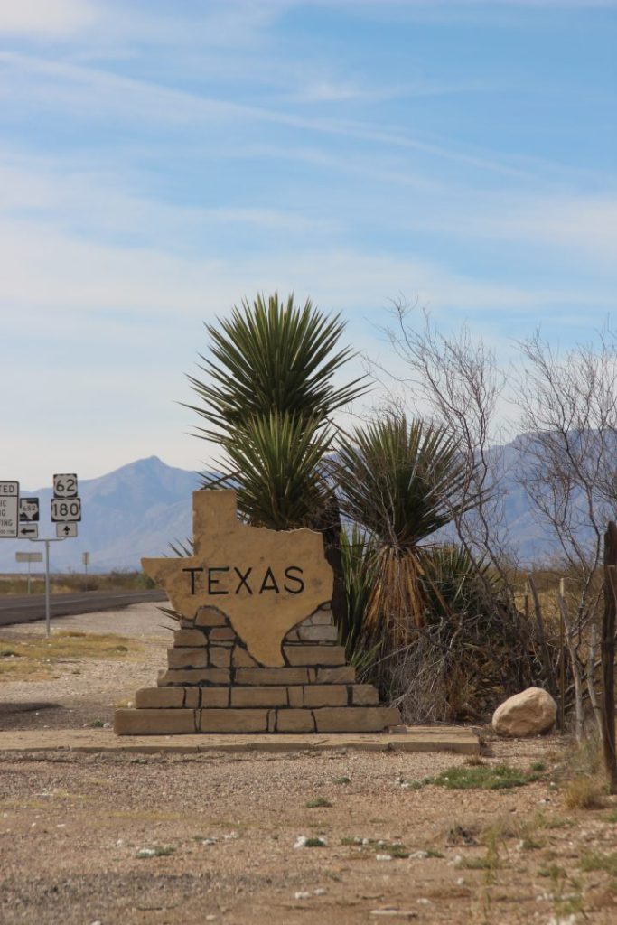
Check your map and you will see that Guadalupe Mountains National Park is situated just barely south of the Texas-New Mexico border pretty much out in the middle of nowhere in the Chihuahuan Desert. Well, Whites City, New Mexico, is 19 miles from Carlsbad, New Mexico, to the northeast, and El Paso, Texas, is 149 miles to the west. Then Guadalupe Mountains National Park is 35 miles from Whites City. And you go back into Texas on the way to the park.
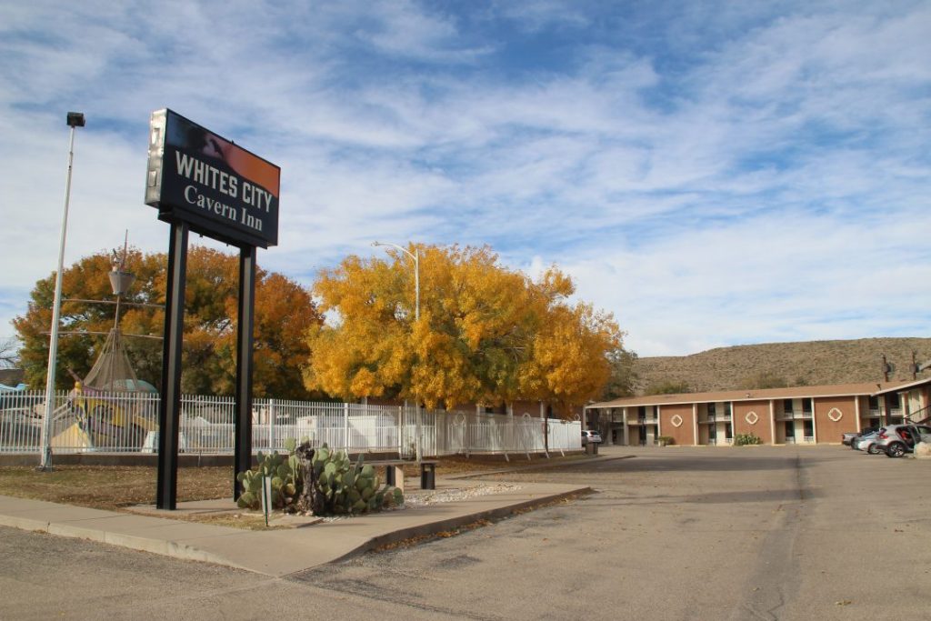
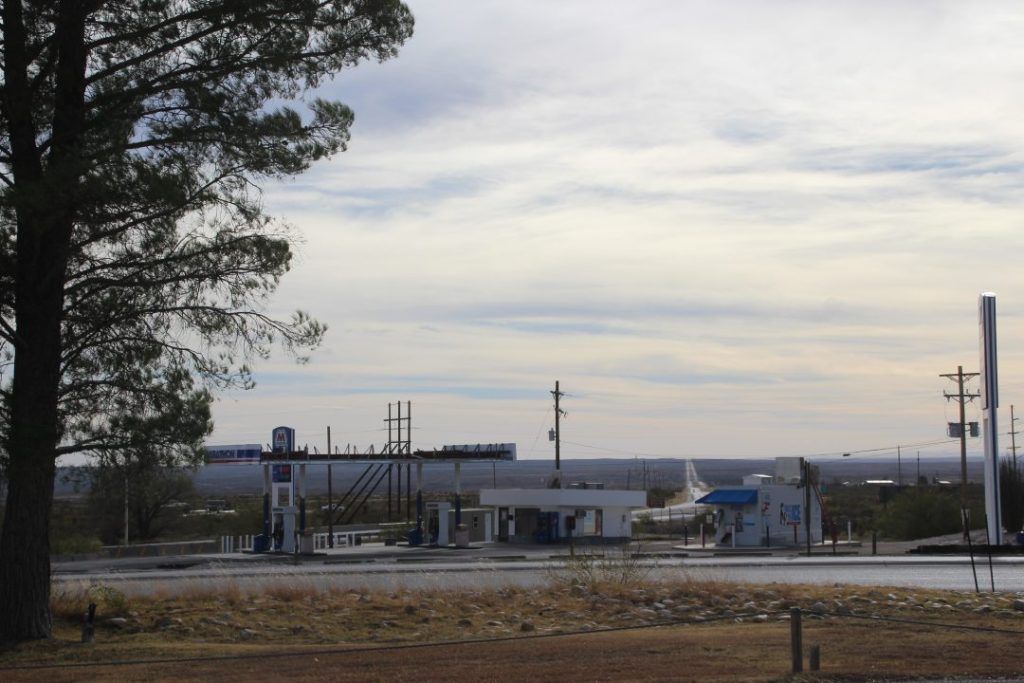
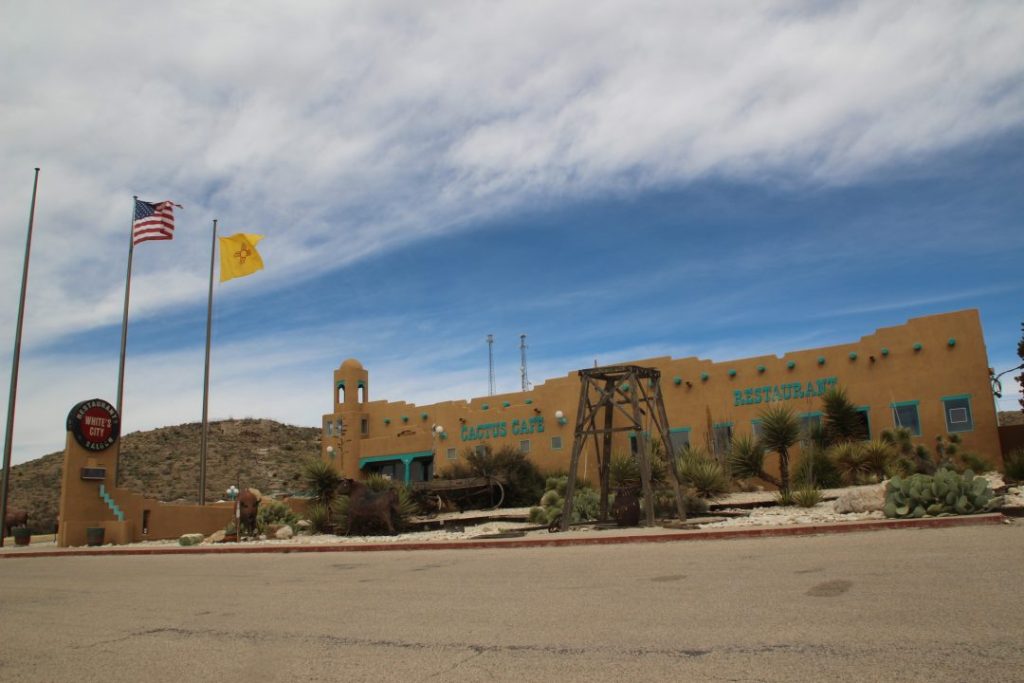
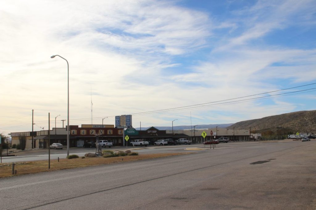
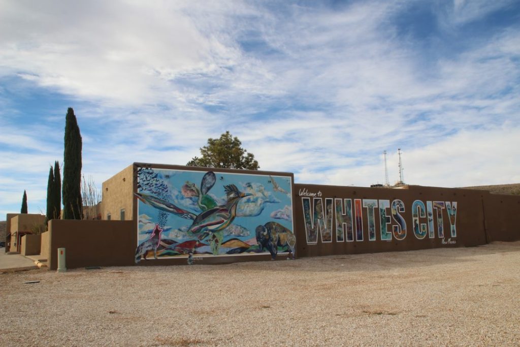
Some population is reasonably close to the park on the New Mexico side, but on the Texas side you see a whole lot of miles and miles before you get to anywhere you have ever heard of-Van Horn or Pecos maybe? Whites City has a tiny population of 14 and is there mainly for people climbing the mountain and/or visiting Carlsbad Caverns. But it does have a nice motel, one gas station, a cafe, and a few shops.
I arrived early on that Sunday so I could go to the park and scout out where we should go in the morning so we wouldn’t lose any time.
They had this map of the trail posted. We would start at the Pine Springs Trailhead and follow the yellow trail up to the peak. After doing it, I am convinced this map doesn’t really show all the switchbacks that just seemed to be never-ending as we went up. And of course, it doesn’t represent the steepness of the path.
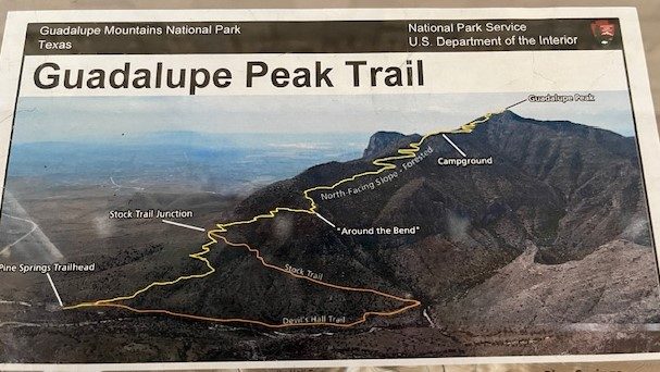
So, anyway, we headed out before sunrise on Monday morning, full of anticipation of the day ahead. Since I had checked things out when I arrived Sunday, we pulled into the Pine Springs Trailhead parking lot around 7 a.m. and easily found a parking spot. I was told it was important to get there early to be sure parking was available so we wouldn’t have to walk from another parking lot to the trailhead, which, of course, would just add more steps and time to the trek.
So, off we went. It just didn’t take very long at all till the trail started the incline.
And things just got worse after that!
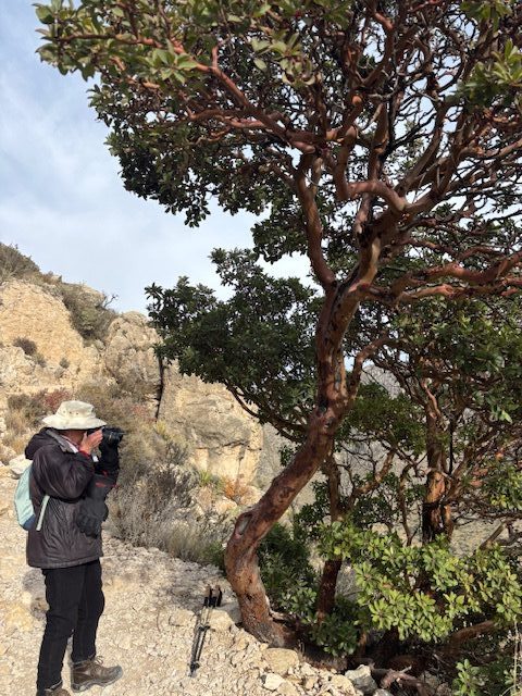
Right off the bat, Ben grew bored with mine and AJ’s pace, which was slow, thanks to my questionable legs, which is another story. And then, of course, the other reason I was slow was because I was stopping to take pictures, like of this Texas Madrone tree with the red bark.
But I digress. Ben said he would see us at the top, and off he went. AJ, bless his heart, trudged along with me as I made my way up the trail, which was littered with rocks and high steps at each switch-back in the trail. And those came up way too frequently for me. This mountain is 8,751 feet high and considered a one-day climb. Kilimanjaro is 19,341 feet high, has more than one path of varying degrees of difficulty leading to the top, and all take more than one day to finish. This path up to Guadalupe Peak was much steeper than the trail we took up to Uhuru Peak because we took one of the easier routes that only had one very steep climb in it. So, of course, the whole way up I couldn’t help but compare one climb to the other.
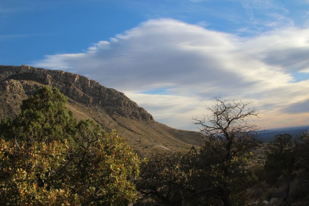
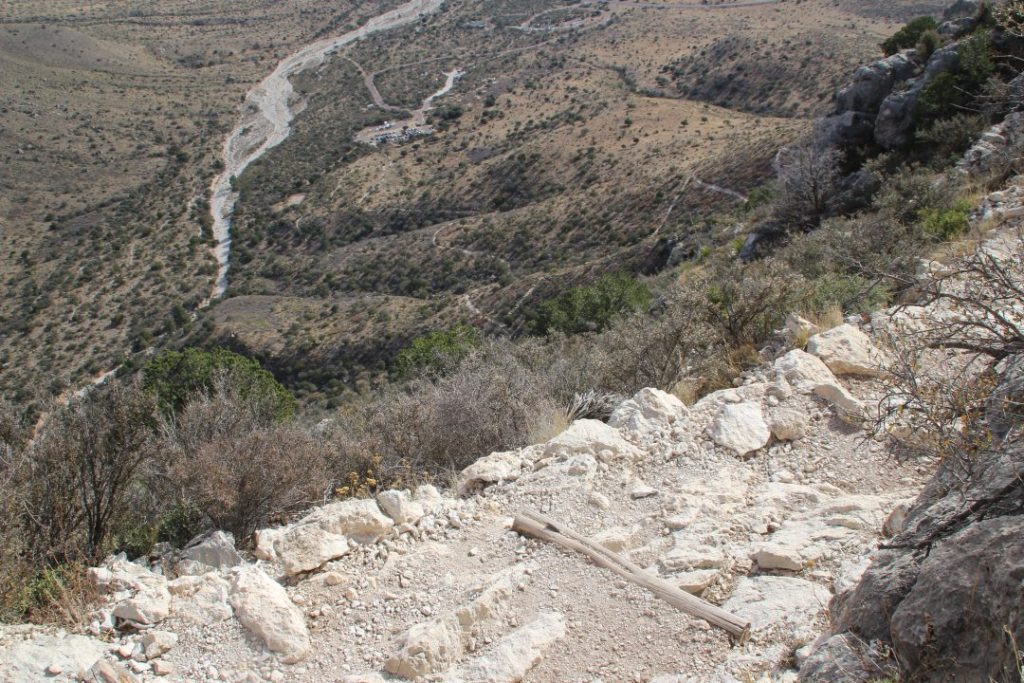
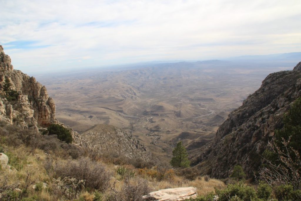
We saw impressive panoramas of the mountains as we made our way up those pesky switch-backs.
Look carefully at top center a bit to the left, and you can see the parking lot at the trailhead where we started. It is to the right of the dry creek bed making its way through the brush.
AJ and I had to stop and get out of the way for people to pass us the whole time. They just slid right past us and never missed a beat. To add insult to injury, one family trucked right past us with Dad packing their toddler in a baby backpack. And then they even passed us again coming down! Ben even met us on his way down from the peak. It only took him three hours to make the summit, and two hours to come down. It didn’t hurt that he was nineteen, and AJ and I were a bit older. Me especially. AJ would have made it if he didn’t have me dragging him down.
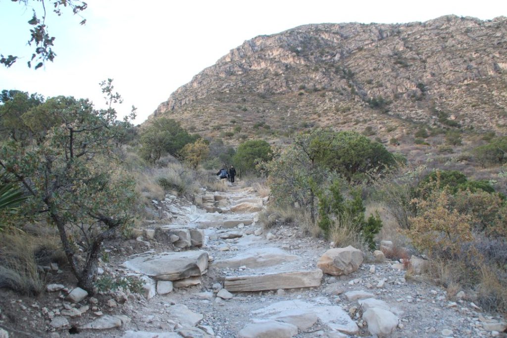
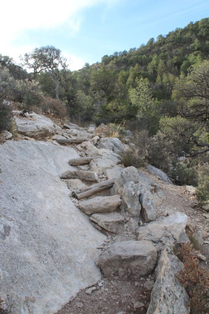
This is typical of the path and why I had so much trouble with the deep steps. Big rocks, steep incline, legs already getting really weary.
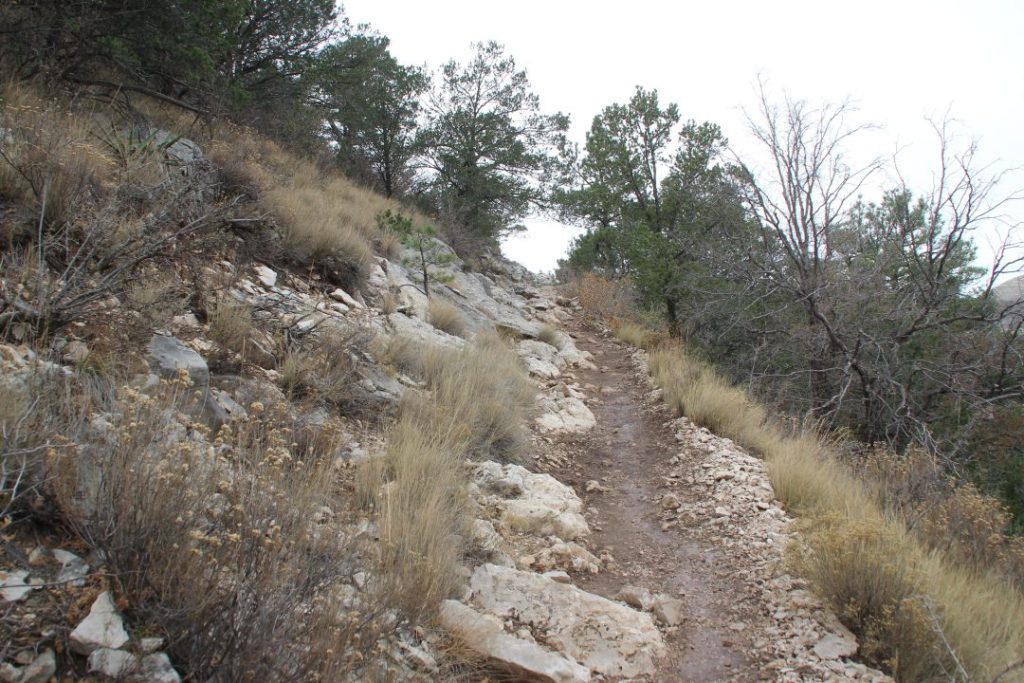
Off and on the path would be like this, a bit smoother with no big rocks to climb over. But they never lasted long enough to make things easier.
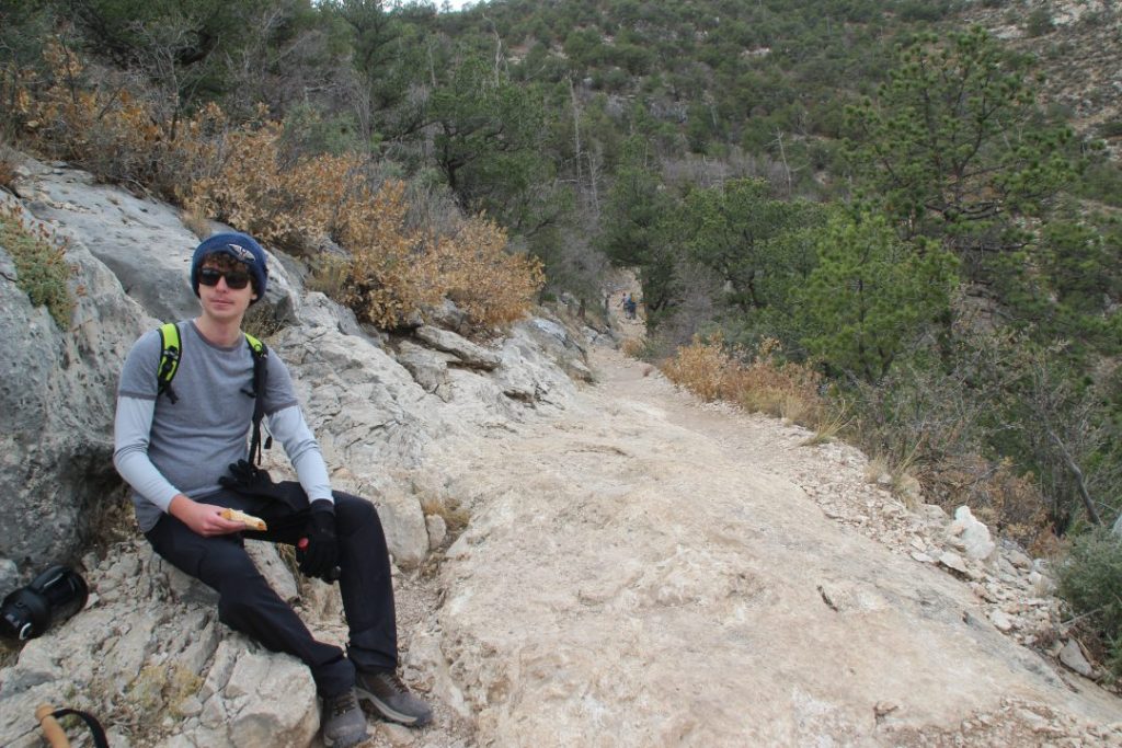
Right about here we met Ben on his way down. We stopped for a snack break, and then he chose to go on down the rest of the way and would meet us at the bottom later. You will also notice that it looks like the path is going down behind him. As I recall, this was just one of the low spots, and it shot right back up steep around the corner that you can’t see.
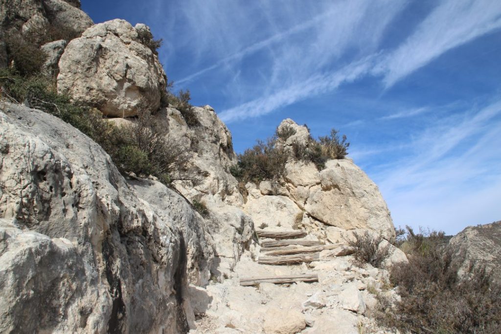
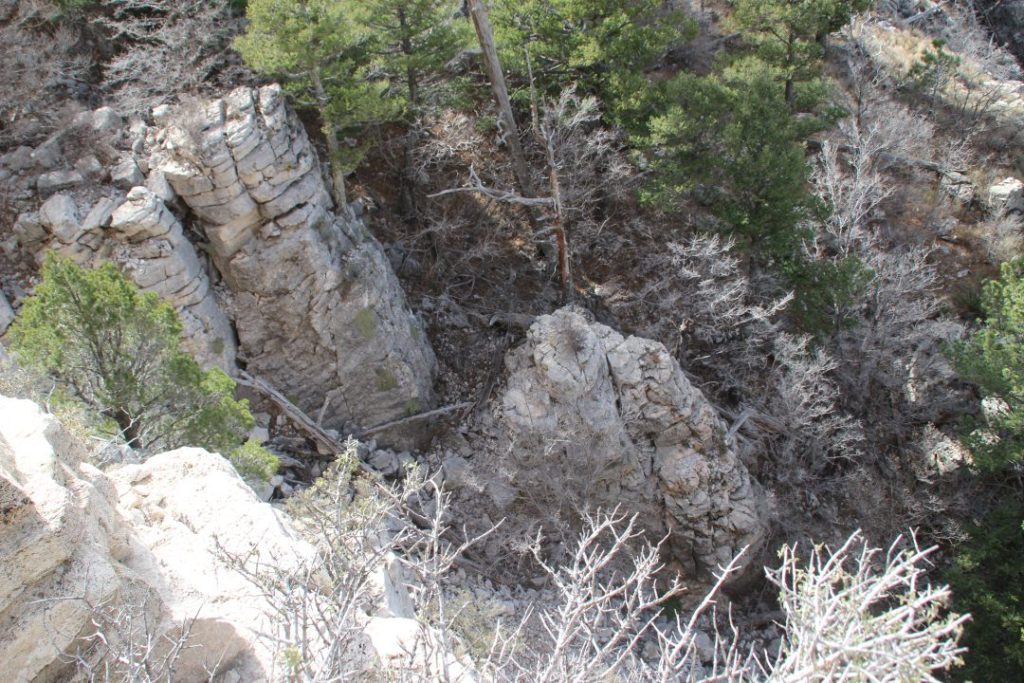
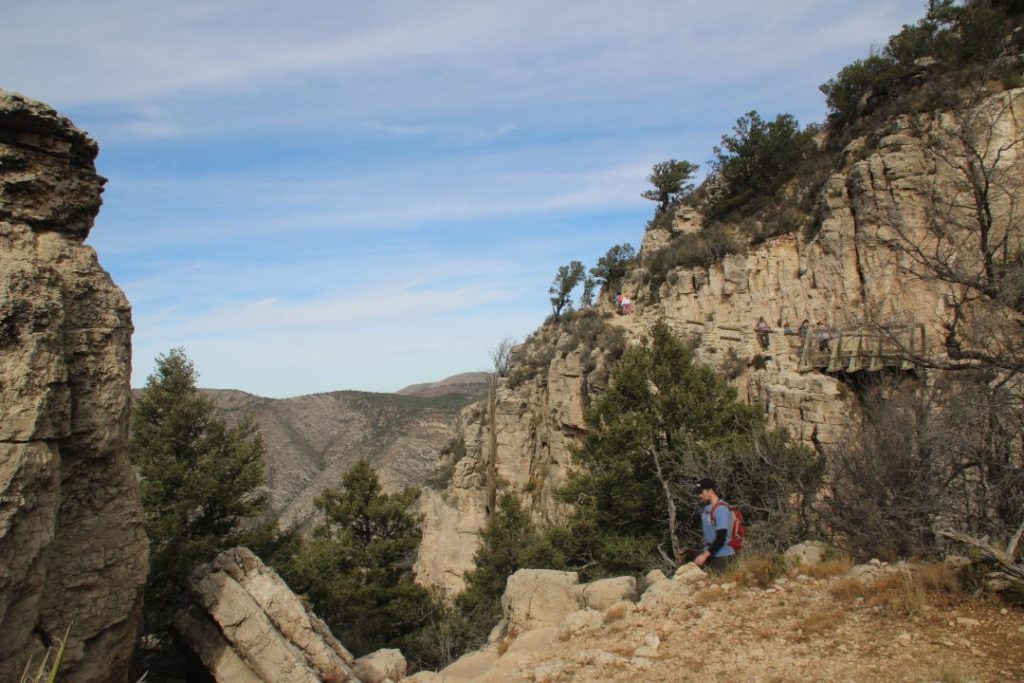
And then things became really steep. The path was on top of a cliff that just dropped down in a deep chasm. A bridge had been built on the side of the cliff for the trail to continue.
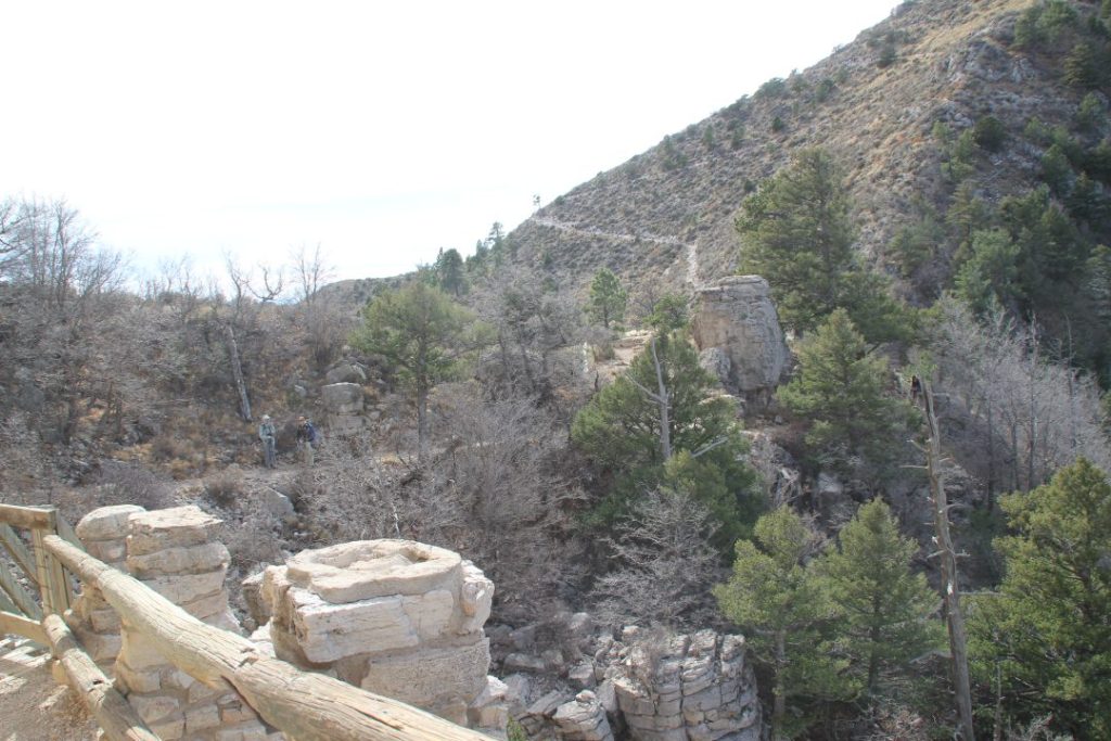
I am standing on the bridge facing the path to the peak. We are still a long way off from the peak. Look closely here and you can see that path continuing and going around the side of the mountain to the peak.
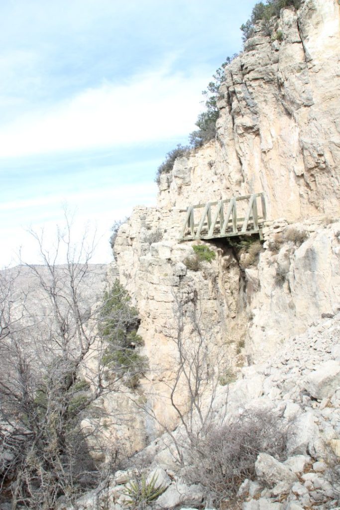
We walked over the bridge and looked back at the bridge.
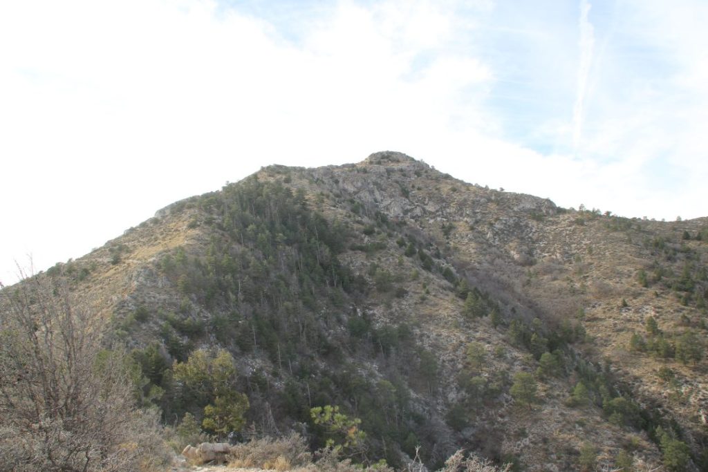
At this point we thought we were looking at the peak. No, we were told by a park ranger who had passed us on her way up earlier in the day, that is the false peak. The real highest point is behind it and probably another hour and a half away for us, she said, considering my snail’s pace.
So, by now, it is about 2:30, Mountain time, or maybe 3:30, Texas time, depending on which time zone our phones chose to show. I don’t remember now, and it was confusing because we would look at the phone and then check my watch and get mixed up because it would change from turn to turn. The altimeter on my phone said we had reached 8,135 feet. Guadalupe Peak stands at 8,751 feet. This spot, we were told by the park ranger, was not a bad place to turn around and go back down, as many people do, she said. And we probably should too, especially considering that if we didn’t turn around, we would have to deal with darkness.
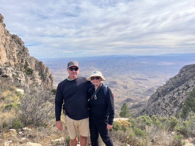
AJ had watched me struggling and really had wanted to turn around earlier, but we were getting so close that I didn’t want to give up. But at this point my legs were just about gone, and it would have been foolish to continue, the park ranger and AJ thought, but it really was against my wishes. So, we had someone take a picture of us at this point and turned around to go down.
I took one last picture from almost the top, and we started down.
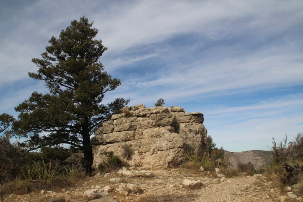
I was still taking pictures on the way down and thought this was a nice shot. The higher we got on the mountain, the vegetation changed. Lower it was prickly pear and desert bushes; toward the top it turned into alpine forest. Well, sort of a forest. It was pine trees in giant rocks.
As we went down, the sun also went down, and I quit taking pictures, and we focused on getting to the bottom in the dark. I had brought my headlamp from the climb on Kilimanjaro and AJ brought a flashlight, so we did have light to help us navigate in the dark. I took no pictures after that, but as we got close enough to see lights in the parking lot, we kept thinking with every turn we were almost there. Ha! What an illusion. We finally made it around 8 or so, on Texas time, I think. So it had been a long day without the results I had hoped for.
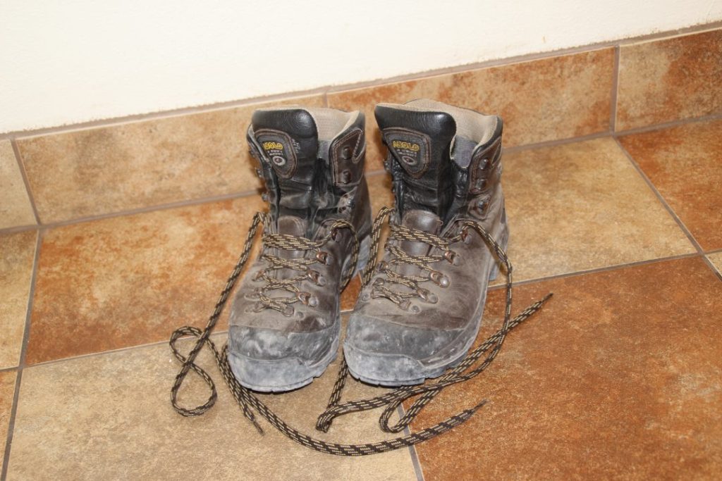
I took a picture of these boots after summiting Kilimanjaro, so of course, I had to take this picture after almost summiting Guadalupe Peak.
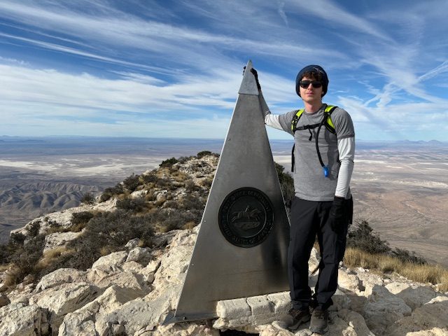
Even though AJ and I didn’t make it to the top, Ben did, and that’s an accomplishment he can always be proud of. Kilimanjaro was seventeen years ago with good legs. I should have done this sooner, but didn’t think it was safe to do it alone. I enjoyed spending time with AJ and Ben, got to see impressive landscapes, almost got to stand on the roof of Texas, had quite an adventure, and made memories.
Wouldn’t have missed it for the world.
Stay tuned. Next, I will tell you about our visit to Carlsbad Caverns the next day.
And if you want to compare this climb to the one on Kili, just typed Kilimanjaro in the Search line, and you can read about that adventure.
Recent Comments